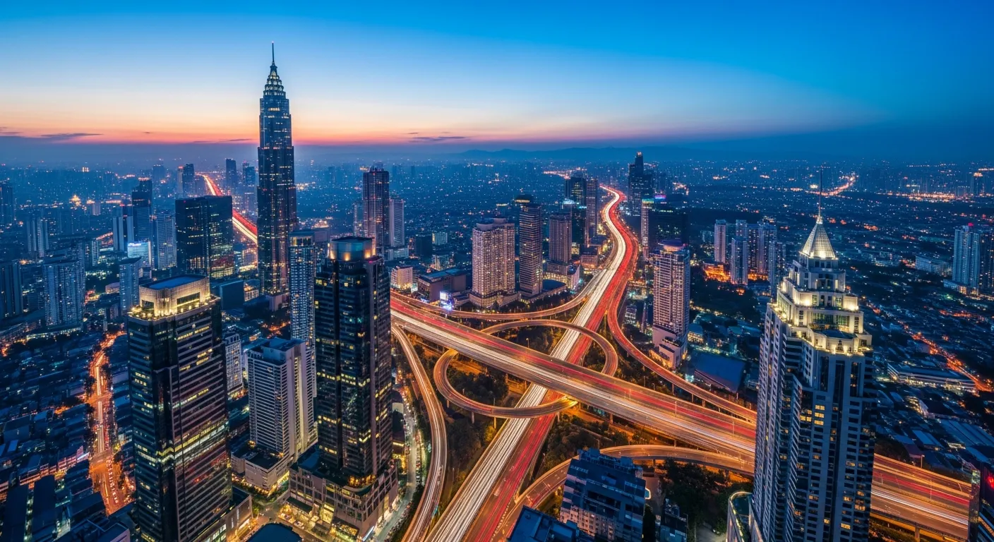
Urban infrastructure was designed for a world that no longer exists. Roads are congested, buses run without reliable schedules, and commuters waste hours navigating systems that don't talk to each other. We're building the intelligence layer that changes this.
Starting with Cyberjaya in partnership with the CLLA accelerator, our Smart City platform orchestrates every mode of urban transport — buses, carpools, ride-shares, cycling — into a unified experience that adapts in real time. For city planners, it provides the first clear picture of how citizens actually move through their streets.
City Platform
Our city platform unifies bus networks, carpooling, ride-sharing, and cycling routes into a single orchestrated system. Not just aggregation — active coordination that reduces wait times and fills empty seats. Currently live in Cyberjaya with expansion planned for Penang and KL corridors. Processes tens of thousands of positioning updates per minute with sub-second latency.
Live Tracking
Arrival predictions powered by the same mathematical framework used in aerospace navigation. Our system learns from traffic patterns, weather conditions, and historical data to give commuters reliable, minute-accurate ETAs. Integrated with Malaysian transit authorities and GTFS feeds for real-time positioning across bus, rail, and ferry networks.
Urban Analytics
Heat maps, flow corridors, peak patterns, and bottleneck analysis — turning raw movement data into actionable infrastructure insights. City planners see exactly where investments will have the most impact. Designed to support data-driven urban planning decisions with continuous, real-time measurement rather than periodic surveys.
The vision extends beyond transport. Smart waste management, environmental monitoring, energy optimization — every system in a city that can be instrumented, measured, and improved. Cyberjaya is the proving ground. Every city after that gets faster.